UN
63 The Vale
£ 2,715,653
Description
We don't have a Description for this property.
- Bedrooms
- 10
- Bathrooms
- 0
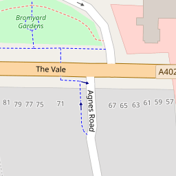
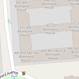
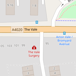
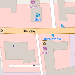

Leaflet © OpenStreetMap contributors
The heatmap indicates the level of crime in the area. The color of the heatmap indicates the crime severity and recency.
Metrics Year-on-Year
- Average area value
- 538,052.00 £Decreased by 8.93 %
- Average area rental value
- 2,337.00 £/moIncreased by 17.56 %
- Est rental Yield
- 5.21 %Increased by 28.96 %
- Crime Rate
- 9.00 %Unchanged by 0.00 %
from 590,816.00 £
from 1,988.00 £/mo
from 4.04 %
from 9.00 %
Nearby Schools
| Name | Type | Ofsted | Distance |
|---|---|---|---|
| Wendell Park Primary School | Community School | Good | 0.36 KM |
| North West London Independent Special School | Other Independent Special School | Outstanding | 0.60 KM |
| King Fahad Academy | Other Independent School | 0.61 KM | |
| Good Shepherd Rc Primary School | Voluntary Aided School | Outstanding | 0.67 KM |
| Q+ | Special Post 16 Institution | 0.82 KM |
Images
Nearby Streets
| Name | Average Price | Average Sqft | Distance |
|---|---|---|---|
| Jeddo Mews | £ 0 | 0 | 0.00 KM |
| Uxbridge Road | £ 0 | 0 | 0.00 KM |
| The Vale/Uxbridge Road | £ 0 | 0 | 0.00 KM |
| Becklow Mews | £ 0 | 0 | 0.00 KM |
| Askham Court | £ 900,000 | 0 | 0.00 KM |
Nearby Transport
| Name | NLC | TLC | Distance |
|---|---|---|---|
| Acton Central | 1404 | ACC | 1.46 KM |
| Acton Main Line | 3000 | AML | 2.21 KM |
| South Acton | 1452 | SAT | 2.35 KM |
| Willesden Junction | 1457 | WIJ | 2.97 KM |
| Gunnersbury | 5588 | GUN | 3.24 KM |
Nearby Listings
| Address | Price | Type | Score | Distance |
|---|---|---|---|---|
| Agnes Road, London, W3 | £ 1,200,000 | BUY | Unknown | 0.09 KM |
| Agnes Road, Acton | £ 1,125,000 | BUY | 6 / 10 | 0.11 KM |
| Bromyard House, Bromyard Avenue, London, W3 | £ 360,000 | BUY | Unknown | 0.13 KM |
| Bromyard Avenue, London | £ 525,000 | BUY | 5 / 10 | 0.13 KM |
| Bromyard House, Bromyard Avenue, London, W3 | £ 340,000 | BUY | 5 / 10 | 0.13 KM |
Nearby Properties
| Address | Price | Distance |
|---|---|---|
| 61 The Vale | £ 380,000 | 0.00 KM |
| 69 The Vale | £ 565,000 | 0.00 KM |
| 63 The Vale | £ 2,715,653 | 0.00 KM |
| 1 Agnes Road | £ 1,490,000 | 0.10 KM |
| 32 Agnes Road | £ 355,000 | 0.10 KM |